
Hidden Waterfalls You Can Actually Visit
No helicopter. No permit lottery. Just a decent pair of boots and the will to go slightly off the obvious path.
Where People Go Wrong When Searching for Hidden Waterfalls
The biggest mistake I made early on was Googling “hidden waterfalls near me.” That search will hand you a listicle written by someone who has never left their apartment, full of falls with AllTrails pages and YouTube walkthrough videos.
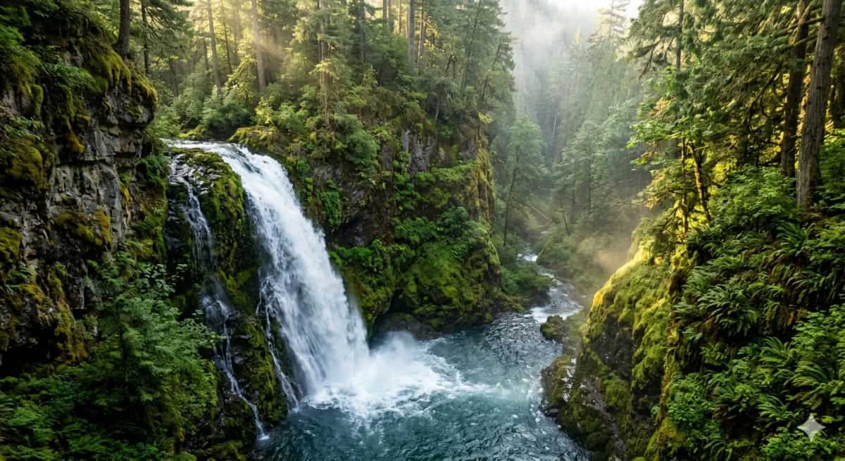
The falls that are actually hidden aren’t going to show up on the first page of Google. They live in a few specific places:
- USGS topo maps. The 7.5-minute quadrangle maps from the US Geological Survey show terrain in enough detail that you can literally read a waterfall off the contour lines — a tight cluster of lines crossing a blue stream line means a significant drop. The free viewer at ngmdb.usgs.gov is your friend here, though I also use the CalTopo app on my phone when I’m in the field.
- Forest Service roads and wilderness boundaries. A lot of the best falls in the American West sit inside roadless wilderness areas or along old logging roads. Grab the national forest map for whatever region you’re exploring — many ranger districts still hand these out free at the office, which is itself worth a visit because the rangers will tell you things no website will.
- Local hiking clubs and regional Facebook groups. Sounds old-fashioned, but this is genuinely where location-specific knowledge lives. I found two of my favorite falls in the Cascades through a post in a regional hiking group where someone mentioned it in passing while asking about trail conditions.
- Out-of-print regional guidebooks. eBay and thrift stores regularly have trail guides from the 80s and 90s that describe falls that are now largely forgotten precisely because those books aren’t online. Some of my most productive research has happened in used bookshops.
In CalTopo, turn on the “USGS Topo” base layer and zoom into any stream in a mountainous area. Zoom to 1:24,000 scale and look for where contour lines bunch up across a blue stream line — those tight crossings often mean a waterfall or cascade nobody has named yet.
Eight Hidden Waterfalls Worth the Hike
I’m going to be honest — I’m not going to give you precise GPS coordinates for every single one of these. Some of them deserve a tiny bit of effort to find. What I will give you is enough to get you there.
About 2.4 miles one-way from the Herman Creek trailhead. Virtually no signs, and the spur trail is easy to miss — look for a faint path branching right just after the second creek crossing. The payoff is a 100-foot drop with almost no one around.
It seeps out of a mossy bank directly into the Sacramento River rather than dropping from a cliff, which makes it unlike almost anything else I’ve seen. Access involves a short walk along active railroad tracks — stay alert and check train schedules. Not for everyone, but unforgettable.
Technically on the map but wildly undervisited compared to nearby Multnomah. The 289-foot drop is one of the tallest in the Gorge, and the upper trail gives you a viewing platform directly above the falls — a perspective most people never see.
Five-mile round trip through genuine old-growth forest. The crowds go to Laurel Falls; this one stays manageable even in peak summer. The plunge pool is wide enough that you can actually sit on the rocks at the edge without a traffic jam around you.
Inside a relatively new state park that most people still don’t know exists. The trail is short — under two miles — and you’re likely to see wild elk on the way. The falls themselves sit at the end of a gorge that feels genuinely remote.
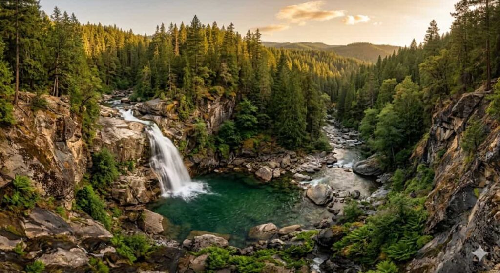
Canada’s Waterfall Capital gets all the attention for places like Webster’s Falls, but Tiffany is tucked at the end of a conservation area loop and stays quieter. A 21-meter horsetail drop with good light in the morning. A fifteen-minute walk from the parking lot.
The trail requires a permit now (worth getting), but even with permits it’s far less crowded than it used to be, and most people stop at the main punchbowl. If you continue up the canyon, there are additional drops that feel genuinely discovered.
Four waterfalls on one trail, including a 136-foot main drop. Central Tennessee doesn’t get a lot of waterfall hype, which is exactly why this place feels like a secret. The last falls requires a slightly rough scramble to see properly — most people turn around before it.
How to Actually Plan One of These Trips
I’ve done this enough times that I have a rough system. Here’s what it looks like.
- Pick your region first, waterfall second. Don’t start with “I want to see a hidden waterfall” and then Google one. Start with “I’m going to the Appalachians in October” and then research what’s in that area. Context makes the trip coherent and the discovery more satisfying.
- Cross-reference three sources before committing. I use a topo map (CalTopo or Gaia GPS), one older guidebook, and one regional hiking group. If something shows up on all three, it’s real and probably accessible. Two out of three is usually fine. Only one source and I treat it as an unknown.
- Call the ranger station. Genuinely, this is the most underused resource in outdoor recreation. The person who picks up has usually been hiking those trails for years and will tell you about washouts, new permit requirements, and whether the access road is actually passable. Takes five minutes.
- Check the flow season. Most people don’t realize that many waterfalls are best in late winter and spring when snowmelt is feeding them. By August, some are a trickle. Others — especially in the Pacific Northwest — are gorgeous year-round. Know what you’re getting into.
- Go on a Tuesday. This is almost embarrassingly obvious, but the difference between a Saturday and a Tuesday at a semi-known trailhead is often the difference between 30 cars and 3. If you have any schedule flexibility, midweek changes the experience completely.
- Bring the right gear. For most of these, you don’t need anything exotic — a day pack, a liter of water per hour of hiking, waterproof boots (the trail to many falls is wet), and trekking poles if you’re going on rough terrain. The thing people consistently forget is a dry bag or waterproof phone case. Mist is aggressive.
“The best waterfall I ever found wasn’t on any list. It was on a topo map, behind a gate labeled ‘Road may be impassable.’ The road was completely passable. I had it entirely to myself for three hours.”
Mistakes I’ve Made So You Don’t Have To
I’ve shown up to a waterfall in August that turned out to be a dry rock face. I’ve parked at the wrong trailhead and added four unnecessary miles to a hike. I’ve gone off-trail to “shortcut” to a falls and ended up bushwhacking through poison oak for forty minutes.
A few specific things worth flagging:
- Don’t rely on satellite imagery for current conditions. Google Maps satellite view might be two years old. A trail that looks clear on the image could have washed out last spring. Always check current conditions through recent trip reports on AllTrails (filter by date), or that ranger station call mentioned above.
- Don’t wade into the pool at the base of a waterfall unless you know the current. Even calm-looking plunge pools can have powerful undertows from the falling water. I’ve seen people get into real trouble treating a waterfall pool like a swimming pool. It isn’t one.
- Don’t post exact coordinates on social media. I know this sounds precious, but I’ve watched two of my favorite places go from quiet to overrun within eighteen months of someone posting precise coordinates in a hiking group. Share the trail name and general area — let people do the small amount of research that keeps these places from getting loved to death.
- Don’t start a remote trail after 2pm if you’re not prepared to camp. I did this once in the Gorge and misjudged the return distance badly. The trail back in the dark with a phone flashlight was not fun. If you’re going somewhere genuinely remote, either start early or carry a headlamp as a matter of course.
Waterfall viewing areas can be genuinely slippery — wet basalt and algae-covered rocks are about as grip-free as a surface can be. Every year people are seriously injured at waterfall trailheads by slipping on wet rock. Wear lugged boots, not trail runners. Move slowly on wet surfaces near edges. No photograph is worth a broken ankle.
What Actually Makes a Waterfall Worth Finding
I’ve thought about this a lot, because I’ve been to famous ones and obscure ones, and the famous ones are rarely the best experiences.
What makes a waterfall memorable isn’t usually the size. Niagara is technically impressive and emotionally hollow — you stand behind a railing with two thousand other people and take a photo you’ve already seen ten thousand times. Gorton Creek, which is a fraction of the height, had me sitting on a log for an hour just listening.
The magic ingredient is time and solitude. When you’re alone with something — or nearly alone — you actually experience it instead of documenting it. You notice that the water changes color depending on what’s in the cloud cover. You hear the individual sounds layered inside the general roar. You stop performing the experience and start having it.
That only happens when you do the work to get somewhere that requires a little effort. The hidden falls, the ones that take a topo map and a ranger call and a Tuesday and a slightly rough trail — those are the ones that stick with you.
I’ve got photos of probably 60 or 70 waterfalls at this point. The ones I actually think about are almost never the famous ones. They’re the ones where I had to figure something out to get there.
One More Thing
If you take nothing else from this: download Gaia GPS or CalTopo before your next hiking trip and spend twenty minutes learning to read the contour lines. Then find a stream in a hilly or mountainous area and follow it up the topo map until you see those lines tighten across the blue. That’s probably a waterfall. It probably doesn’t have a name. It might be the best one you ever see.
The trailhead is the easy part. The map reading is what separates the people who find things from the people who visit things.
There’s a difference. It’s worth finding out which kind of person you are.